Beyond the Desert: Nile's Role in Egyptian Unity and Growth
"The Nile is not just a river; it is the pulse of a nation that has beaten for five millennia."
The Nile River is the singular reason Egypt exists as a cohesive entity. Without its seasonal rhythms and fertile deposits, the desert would have swallowed any hope of organized society long before the first pharaoh took a throne.
Key Takeaways * The annual flooding cycle created a predictable agricultural calendar that allowed for surplus food and stable governance. * The river acted as a natural highway, connecting distant political centers like Memphis and Thebes.
* The Delta serves as the fertile terminus, providing a massive agricultural base that sustains much of the modern population.
How Did the Nile Sustain the Dawn of Egyptian Civilization?
A farmer stands at the edge of a muddy bank at 6:00 AM, watching the water recede to reveal a thick, dark layer of silt. The air is heavy with the scent of wet earth and the sound of splashing water as village children run toward the shoreline.
This ritual of watching, waiting, and planting has remained the fundamental heartbeat of Egyptian life for thousands of years.
The survival of early Egyptian society depended entirely on the annual inundation. This predictable flooding brought nutrient-rich silt from the highlands, transforming the desert into arable land.
This cycle dictated the entire Egyptian calendar, forcing a highly organized society to develop sophisticated irrigation, mathematics, and time-keeping just to manage the planting and harvesting seasons.
Geography forced a specific kind of social structure. Because the fertile land was narrow and hugged the riverbanks, settlements grew linearly. This created a natural corridor of power.
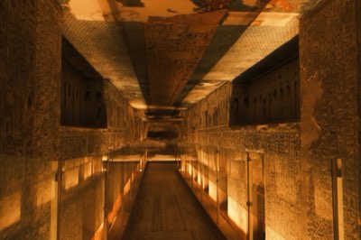
For example, Saqqara, located 30 km south of Cairo, served as a vast, ancient burial ground and necropolis for the early capital of Memphis. The proximity to the river allowed these massive funerary complexes to be built and supplied with ease.
The scale of life supported by the river was unprecedented. While the surrounding desert remained largely uninhabitable, the river valley allowed for a massive population density that could sustain monumental building projects.
Without this concentrated food source, the labor required to build the wonders of the ancient world would never have been possible.
But how did this narrow strip of green manage to connect such vast distances?
How did the Nile serve as a lifeline? A wooden boat glides through the water at noon, its shadow stretching across the reeds as it moves toward a distant temple. The sun beats down on the deck, and the gentle rocking of the vessel masks the immense effort of moving through the current.
The movement of people along this liquid road has been constant since the beginning of recorded history.
Traveling from Cairo southward reveals the true scope of this lifeline. As travelers move toward Luxor, which is approximately 500 km south of Cairo, they are essentially traveling through the historical heart of the ancient city of Thebes.
The river allowed for the rapid movement of goods, religious artifacts, and armies, effectively knitting together a massive empire.
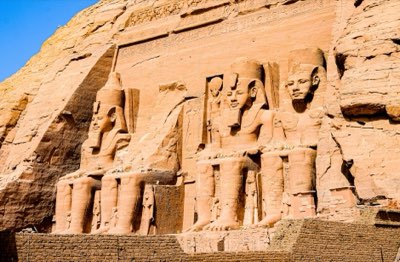
The monumental scale of Egyptian ambition is best seen in how they used the river to project power. Deep in the south, near the Egypt–Sudan border, lies Abu Simbel, located about 850 km south of Cairo.
The sheer effort required to transport massive stone blocks to such locations highlights how the river facilitated the movement of materials that define the Egyptian identity.
This ancient dependency remains a reality today. While modern technology has changed, the fundamental need to live near the water remains. The river remains the primary artery for both commerce and the movement of people, mirroring the ancient routes that once carried pharaohs and priests.
However, the river doesn't just run straight; it eventually breaks apart into something entirely different.
What secrets lie within the Delta? The river widens, splitting into a complex web of branches that shimmer under the Mediterranean sun at mid-afternoon. The sound of the wind through the reeds is constant, and the sight of green stretching to the horizon replaces the harsh desert tan.
Here, the singular strength of the river transforms into a sprawling, fertile labyrinth.
The Nile Delta represents the river's magnificent terminus. As the Nile meets the Mediterranean, it spreads out into a vast, intricate network of distributaries. This area acts as a massive natural filter and a highly productive agricultural zone.
While the upper valley is narrow and regimented, the Delta offers a sprawling, fertile ecosystem that has provided a different kind of stability for millennia.
This terminus became a crucial cultural and economic nexus. The Delta provided a massive surplus of food, which supported trade and settlement. It also served as a gateway between the Mediterranean world and the African interior.
The contrast between the narrow, high-walled valley of Upper Egypt and the wide, open expanses of the Delta highlights the geographical diversity that shaped different regional identities within the same civilization.
But what does this ancient lifeline mean for the people living in the shadow of the pyramids today?
The Nile’s Legacy in Modern Egypt
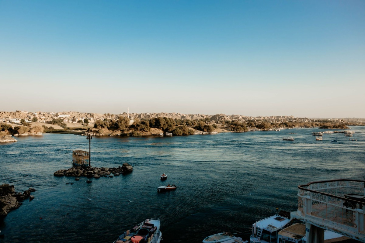
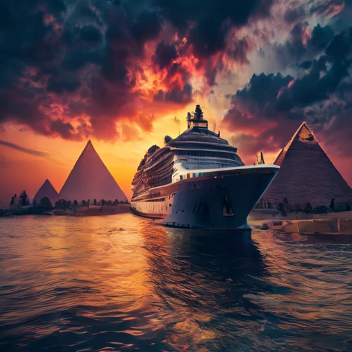
A modern tour boat passes a quiet village at dusk, where children play on the riverbank, a scene that might look nearly identical to one from three thousand years ago. The orange glow of the setting sun hits the water, and the smell of woodsmoke drifts from the village kitchens.
The continuity of the Nile is the most striking feature of the Egyptian landscape.
The river remains the lifeblood of modern Egypt, providing water for irrigation and drinking to tens of millions of people. The relationship between the people and the water has evolved, but the fundamental reliance has not. Modern tourism often mirrors the ancient patterns of movement.
A typical Nile cruise allows travelers to experience the same transition from north to south that ancient pilgrims might have undertaken.
The scale of visitation is a testament to the enduring allure of this riverine civilization. According to World Bank data, Egypt recorded 13,026,000 international tourist arrivals in 2019.
This massive influx of visitors is driven by the desire to see the results of that ancient, river-fed prosperity.
The economic impact of this tourism is significant. According to World Bank data, Egypt recorded a GDP per capita of US$3,086 in 2025. This economic reality is deeply tied to the ability of the country to share its history with the world, a history that began with a single river.
When I first traveled the stretch between Luxor and Aswan, I noticed how the village life seemed to pulse in perfect time with the water levels. It was a reminder that while the world changes, the river dictates the pace.
Navigating the Flow: Practicalities of the Modern Journey
A traveler checks a map at a small café in Cairo, tracing a line from the desert sands of Giza to the golden temples of the south. The paper is slightly worn at the edges, and the sound of honking horns fills the air outside the window.
Planning a journey through this landscape requires understanding the relationship between the river and the landmarks.
Most travelers follow a logical route that honors the river's flow. A standard 7-to-10-day itinerary often begins in Cairo and moves south toward Luxor and Aswan. This allows for a comprehensive look at the progression of Egyptian history.
| Travel Segment | Typical Focus | Key Locations |
|---|---|---|
| Cairo & Surrounds | Ancient Origins & Necropoleis | Giza, Saqqara, Memphis |
| Upper Egypt (The South) | Imperial Power & Temples | Luxor, Thebes, Abu Simbel |
| Nile River Cruise | Riverine Life & Connectivity | Between Luxor and Aswan |
The journey often begins with the monumental sites near Cairo, such as Giza, located 20 km southwest of the city. These sites, including the Great Pyramids and the Great Sphinx, represent the early mastery of the environment.
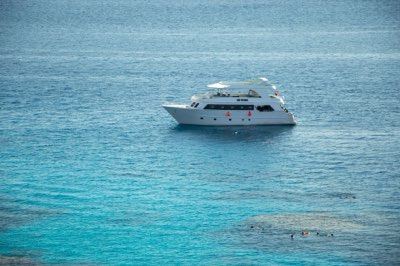
From there, travelers often transition to a Nile cruise, which serves as a floating hotel and a way to navigate between major sites like Luxor and Aswan.
For those looking to combine history with coastal exploration, gateway towns like Ain Sukhna, located 110 km east of Cairo, offer access to the Red Sea.
This allows travelers to move from the riverine heartland to the maritime beauty of the coast, providing a complete picture of Egypt's diverse geography.
To make the most of a trip, follow this basic planning sequence:
- Identify your seasonal window: Aim for the cooler months between October and April to avoid the intense desert heat.
- Select your base: Start in Cairo for the heavy history and move to Upper Egypt for the scenic river transit.
- Book a cruise: Arrange a multi-day boat journey between Luxor and Aswan to see the landscape change.
- Pack for versatility: Bring light linens for the day and a light jacket for the cooler desert nights.
Note that while the river is the center of life, it is not a perfect solution for everyone. The intense heat and the logistical challenges of moving between remote desert sites can make travel physically demanding and expensive.
Comments 0